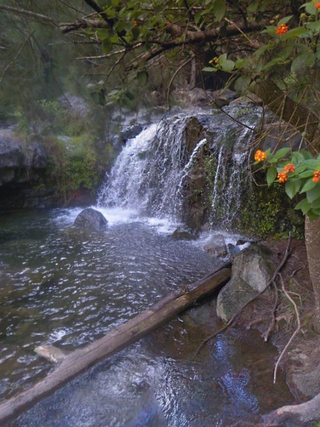
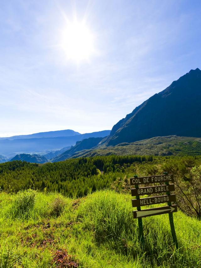
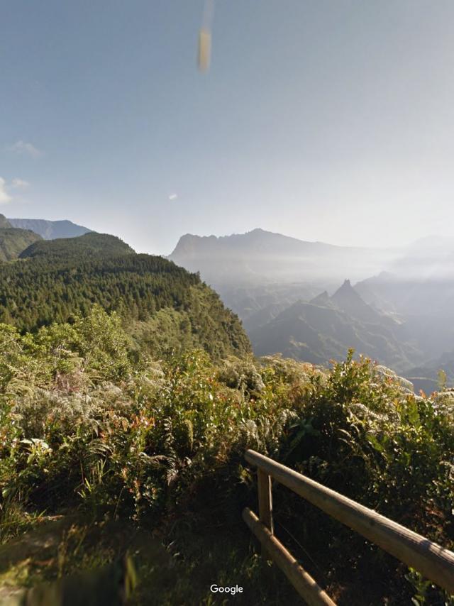
Canyon Bras Rouge la Réunion©Canyon Bras Rouge la Réunion|Google trekker IRTBras Rouge – Google Street ViewLire la suiteCanalisation des orangers – Google Street ViewLire la suiteCanalisation et sentier Augustave – Google Street ViewLire la suiteCap noir google – Google Street ViewLire la suiteCheminiletamalheur.jpg©Cheminiletamalheur.jpg|Google trekker IRTChemin Îlet à Malheur – Google Street ViewLire la suiteRandonnées à La Réunion.jpg©Col des boeufs La nouvelle.jpg|IRT/George DepriesterCol des boeufs – Plaine au sables – Google Street ViewLire la suiteCretesdesorangers.jpg©Cretesdesorangers.jpg|Google trekker IRTCrête des orangers – Google Street ViewLire la suitehébergement La Réunion©hébergement La Réunion|Emmanuel VirinGîte de Belouve – Google Street ViewLire la suiteGrr1.jpg©Grr1.jpg|Google trekker IRTGR R1 Grande randonnée de La RéunionLire la suiteLaplaque.jpg©Laplaque.jpg|Google trekker IRTLa plaque – Google Street ViewLire la suiteLesmakes.jpg©Lesmakes.jpg|Google trekker IRTLes makes – Google Street ViewLire la suiteBelvedere du maido©Belvedere du maido|Emmanuel VIRINLe Maïdo – Google Street ViewLire la suite
 Randonnee Pedestre132 Riviere Des Galets Credit Irt La Vie En Mauve Dts 05 2027.jpgRandonnee Pedestre132 Riviere Des Galets Credit Irt La Vie En Mauve Dts 05 2027.jpg